
Our Services
Based in Statesville, North Carolina, we provide advanced drone application and aerial mapping services designed to support modern agriculture.
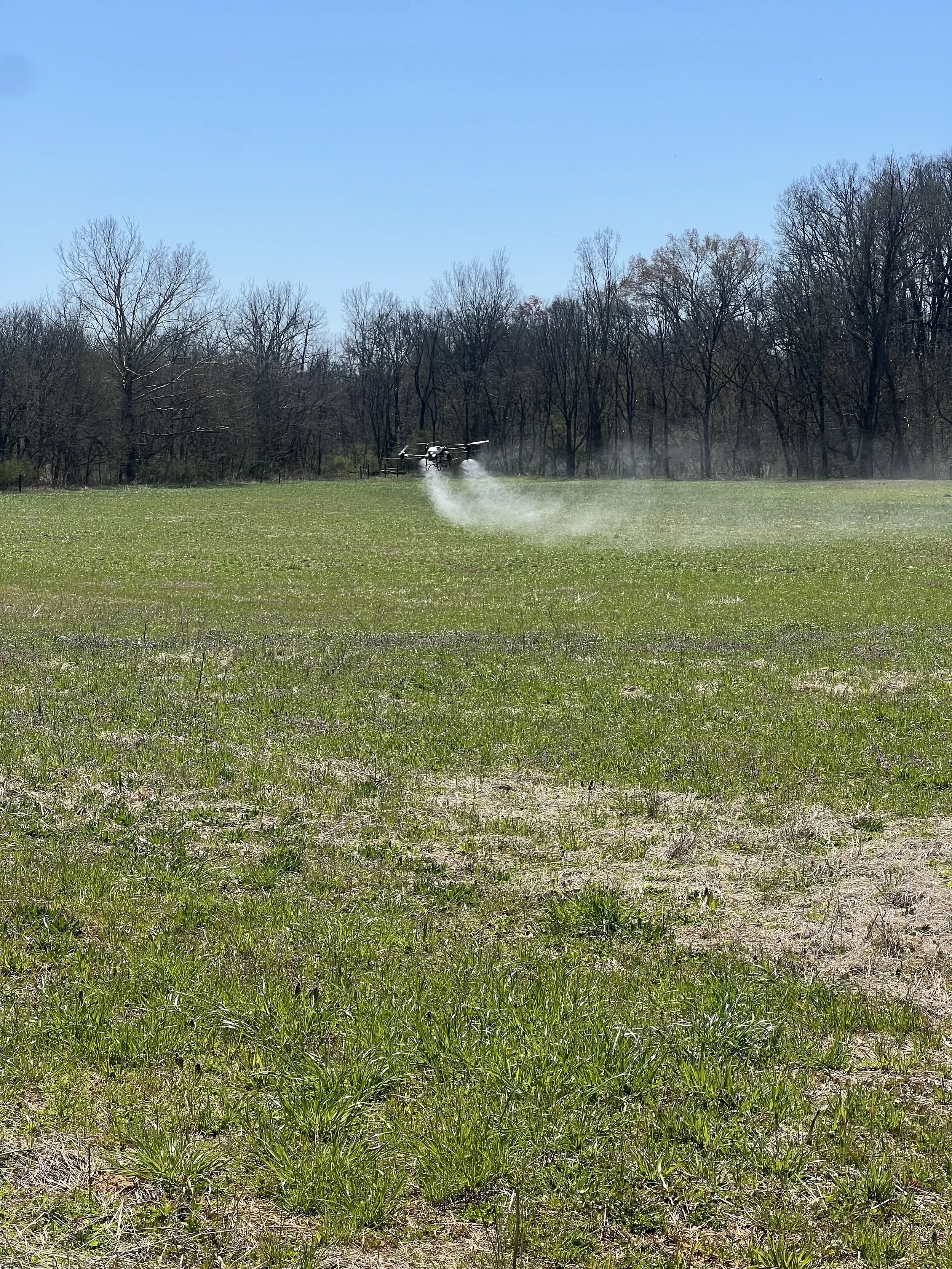
Our application drones offer precise delivery of herbicides, fungicides, and fertilizers—helping growers cover more acres in less time, reduce chemical waste, and improve overall crop performance. Ideal for fields that are difficult to access or require spot treatments, our drone spraying services are efficient, accurate, and environmentally conscious.
In addition, our mapping drones offer high-resolution aerial imagery for field scouting, plant counts, and crop health monitoring. We also offer thermal imaging capabilities that are perfect for inspections, locating livestock or equipment, and identifying irrigation or drainage issues.
From application to insight, our drone solutions are built to support better decisions, higher yields, and more sustainable farming practices.
Application Options
Our Drones can Spray and Spread products on your fields, orchards or aquatic areas. This gives us the ability to apply herbicides, fungicides and other products when and where you need them. Liquids, granular products and cover crops are all options that we can apply of you.
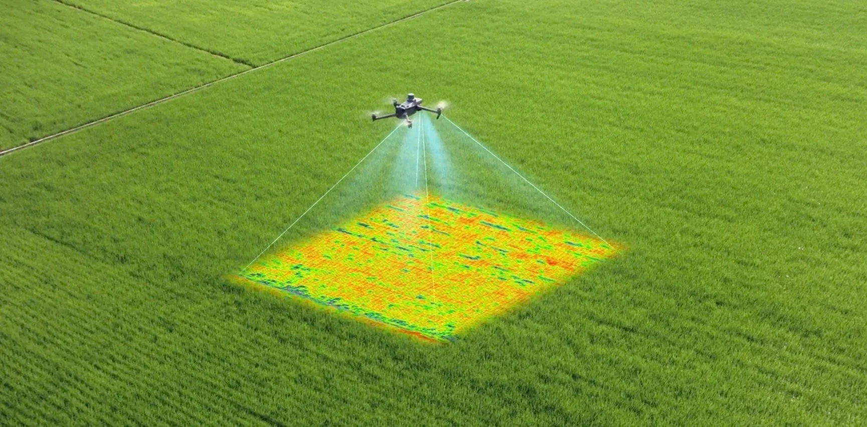
Crop Scouting or Site Suryeving
With an efficient mapping drone we can provide you with crop health information, crop damage survey for insurance, and stand counts for trial or test plot sites. These are just a few options we can provide for our customers.
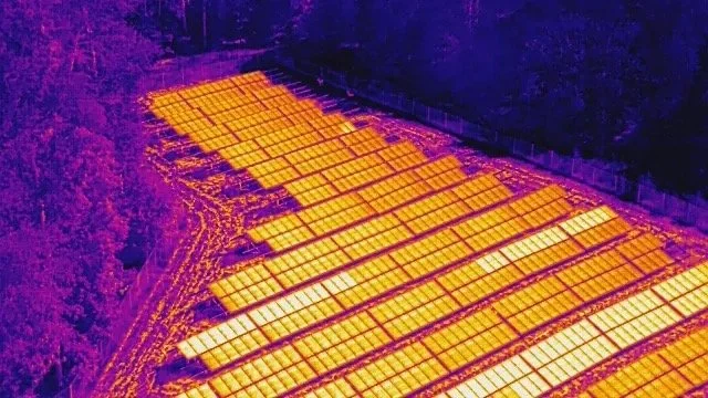
Thermal Inspections
Thermal imagery provides valuable information to what is going on with buildings, solar farms, power lines and many other critical pieces of our infrastructure. We can help with safe and accurate inspections of your property or equipment.
Contact us
Interested in working together? Fill out some info and we will be in touch shortly. We can’t wait to hear from you!